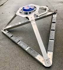
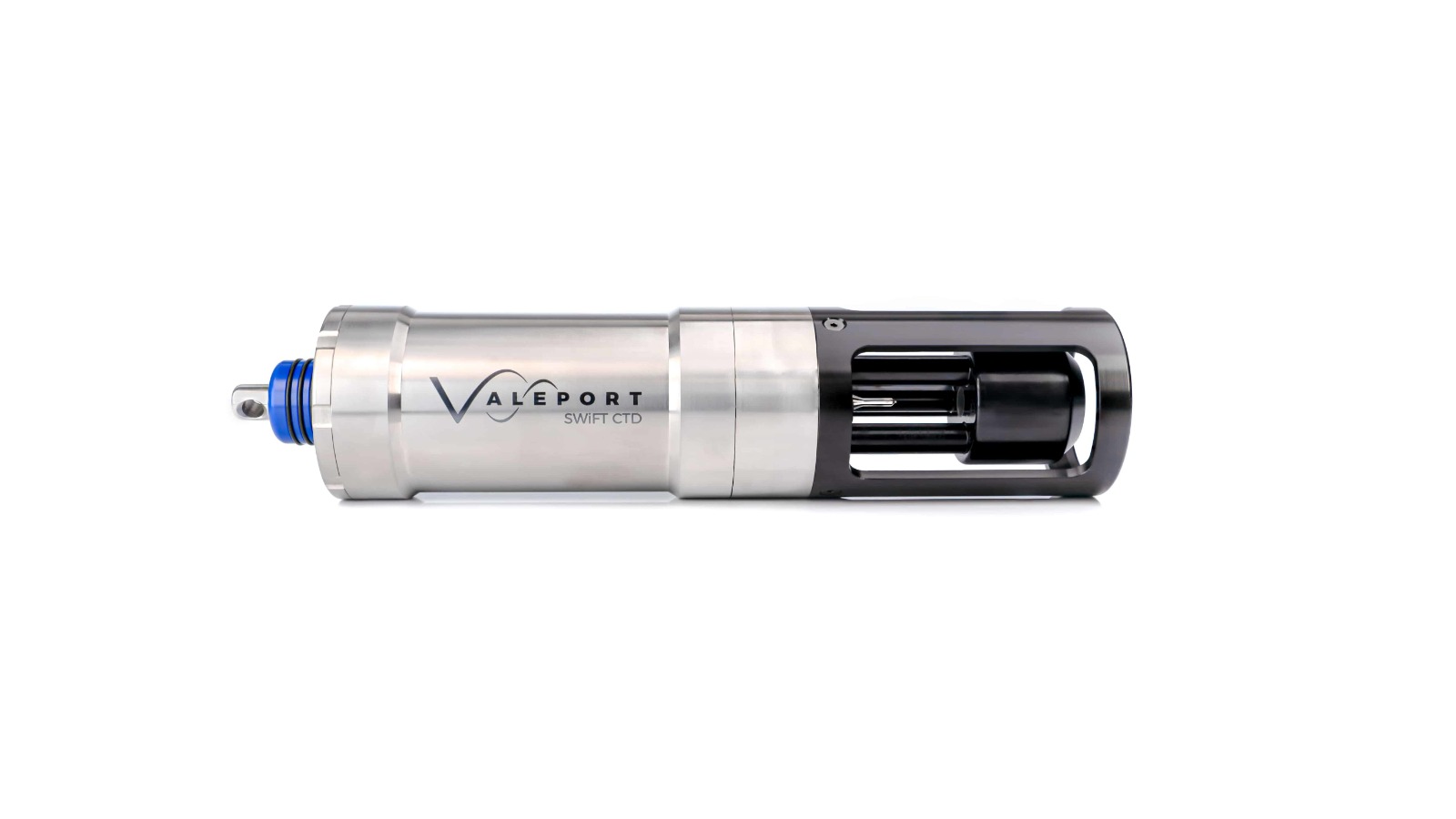
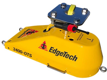
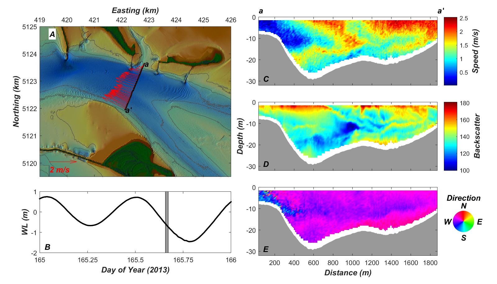
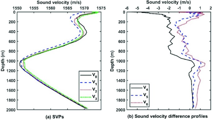
Hydrographic Surveys
Hydrographic surveys are used to define shoreline and under water features...
HR Specialist (Entry to Mid-Level)
We are seeking a qualified HR Specialist to join our team at an entry to mid-level position. The ideal candidate will be a Saudi national with a strong command of English and a thorough understanding of Saudi Labor Law.
Accountant (Mid-Level)
We are looking for a skilled Accountant to join our team at a mid-level position. The ideal candidate will be a Saudi national with proficiency in English and experience in accounting practices.
Hydrographic surveys are used to define shoreline and under water features...
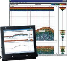
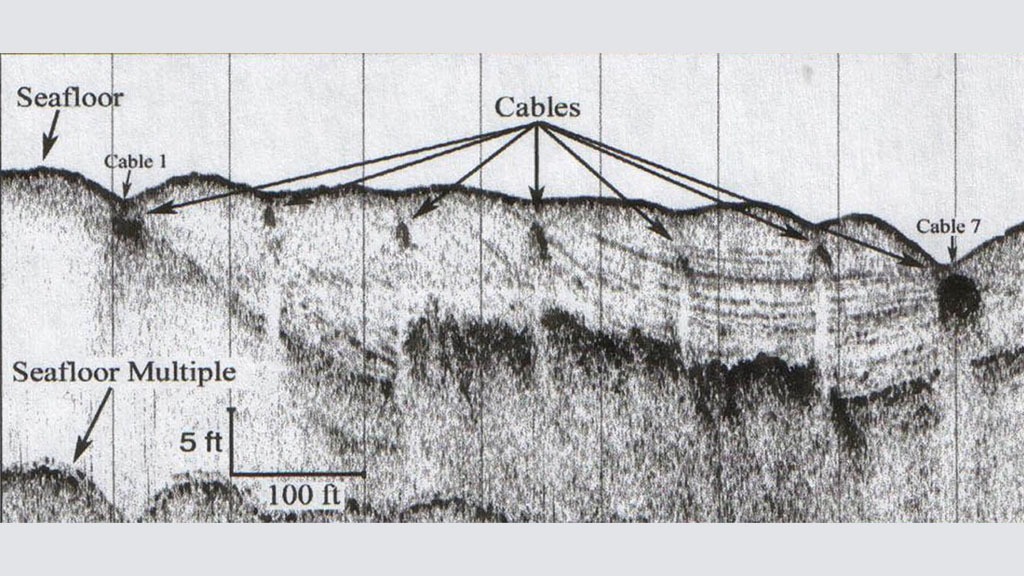
dentifying and Characterizing layers of sediment or rock under the seafloor....
Collected information provides the ability to assess conservation values of areas, understand....
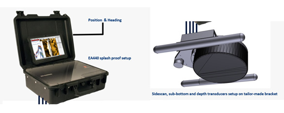
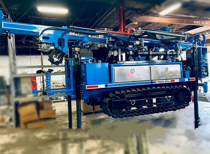
Determining the terrestrial or three-dimensional positions of points and the distances and....
Almesbar has its own professional divers who can assist and support in diving.....
Survey Boat Mesbar 1
LOA: 8.0 m
Draft: 0.7 m
Survey Boat Mesbar 2
LOA: 10.5 m
Draft: 1.0 m
Service Boat Mesbar 3
LOA: 8.3 m
Draft: 1.0 m
Landing Craft Mesbar 4
LOA: 20.45 m
Draft: 0.87 m


.png)